The Best Day Hikes within 150 Miles of San Francisco on the Pacific Coast Highway
Over the past year, I’ve done my fair share of afternoon hikes, one-day excursions, and two-day missions all in the name of exploring and seeing what some consider to be the most beautiful coastline in the world. Whether it’s the most beautiful place on Earth or not, I’m here to share some key locations along Highway 1 that are well worth a visit.
Traveling 150 miles north or south of San Francisco along Highway 1 will expose you to long stretches of wildly beautiful coastline and gigantic Redwood forests, areas straight out of a storybook. The Big Sur area to the south is arguably the more popular one in the area, and it certainly deserves its claim to fame with unreal coastline, jaw-dropping beauty, and what the locals tell me is “a bit better weather than up north.” Moving northward from San Francisco point, you can zig zag your way up the coast, eventually arriving in Mendocino County, which certainly stands up to its southern rival with miles of Pacific Ocean smashing into the continent in beautiful and destructive ways. The numerous redwood forests are just a stone’s throw inland.
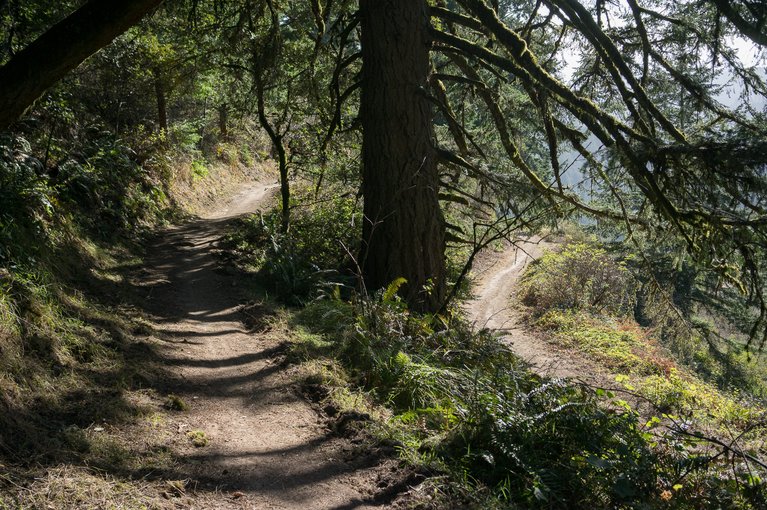
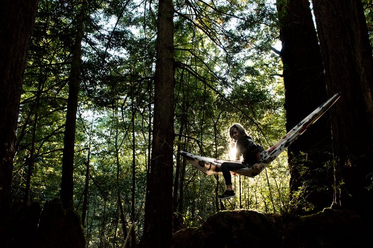
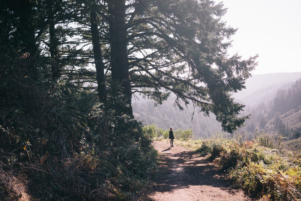
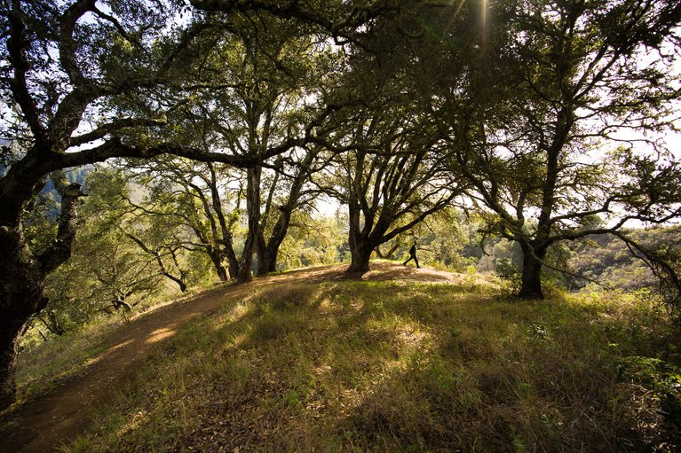
Much of the hiking in this area is easy to moderate, varying in length from thirty minutes to multiple hours, depending on what you’re trying to fit in for the day. Since you’re technically starting at the top of the mountain, you can traverse many different single path trails and fire roads, dropping elevation as much as you desire. El Corte, Purisima, and Wunderlich trailheads are right off the road. You can park the car, hop out, take a stroll, set up the hammock for a few, and move on. If you’re trying to hunker down for the night, head south to Portola Redwoods State Park, get another hike in and stay on-site, where plenty of camping options are available.
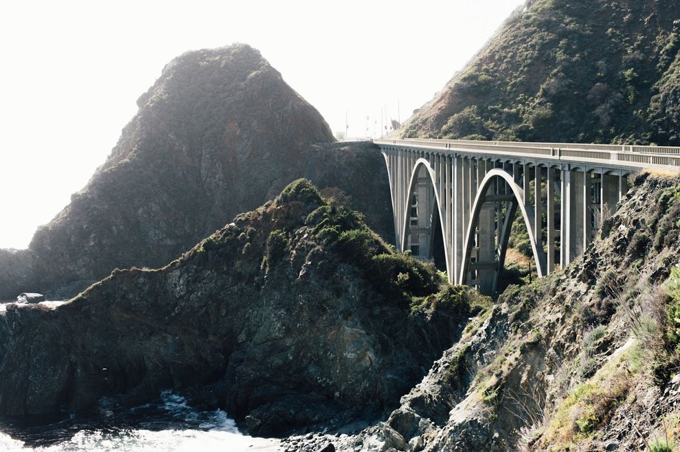
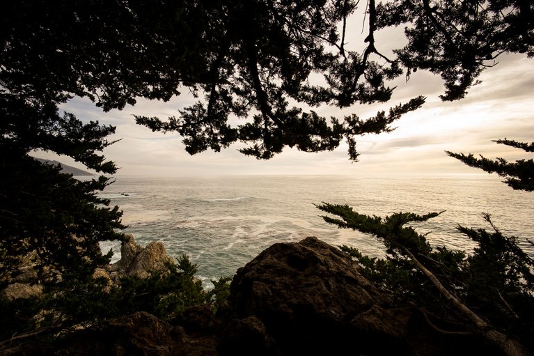
Continuing south, Highway 1 will deliver the goods with nonstop beauty one curve after the next. It moves over the Bixby Bridge, through Monterey, past Pfieffer Big Sur State Park, eventually bringing you to the Julia Pfeiffer Burns State Park region with more hiking, camping and lodging options.
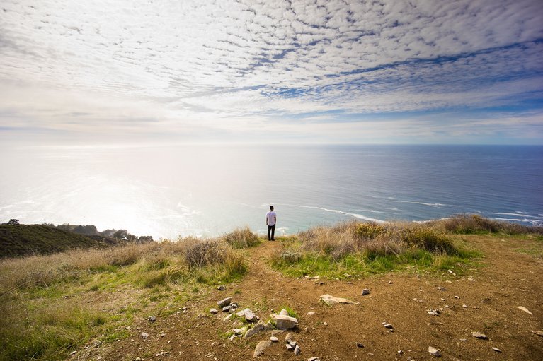
A great moderate hike is the Ewoldsen Trail, directly across from the famous McWay Falls, where you’ll ascend 1,600 vertical feet (4.5 miles) quickly through a beautiful redwood forest and scrub landscape that places you on top of a cliff overlooking the Pacific Ocean and the highway below. This is the perfect location to rest your feet, enjoy the view, and soak up the sun before descending, which can be routed as a loop so you’re not hiking the same line twice.
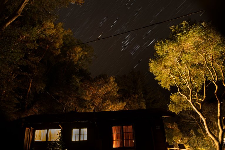
If you’re feeling adventurous, keep the party rolling and grab a cabin for the evening near these parts, or continue south to Limekiln State Park and pitch a tent. You really can’t lose no matter what you choose—this is Big Sur!
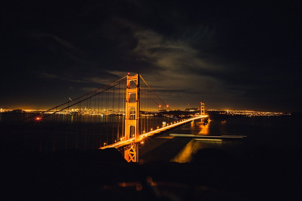
Now let’s try the other direction. With your sights to the north, head out across the Golden Gate Bridge, which has multiple viewing options on both sides, perfect for rattling off a few flicks. My personal favorite is right up on Conzelman Road, a perfect viewpoint for the bridge, the city, and the Bay Bridge in the distance.
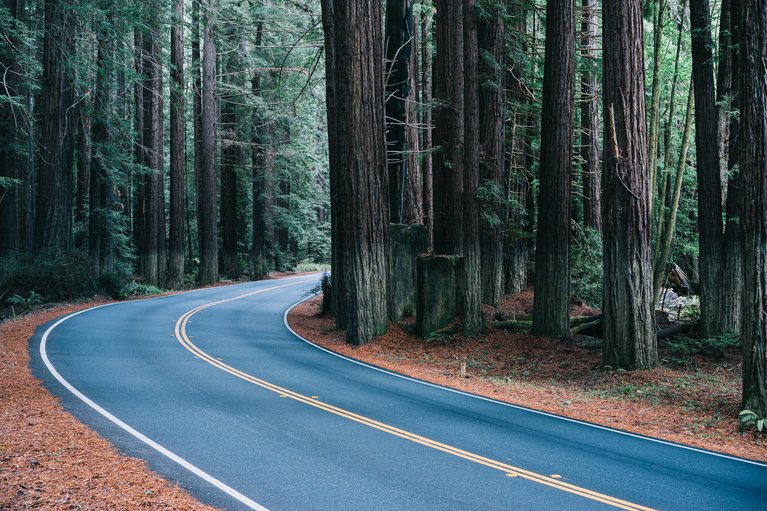
At this point you can grab Highway 1 for the long, windy ride up the coast, or hop back on the 101 North and fast-forward your way through Navarro State Park. A few miles in, you’ll start to see the massive Redwood trees, which warrant pulling over for a few photos before the road connects with 1 North again, leading you into Mendocino County.
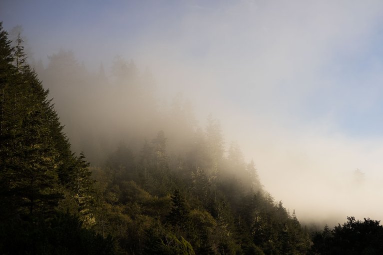
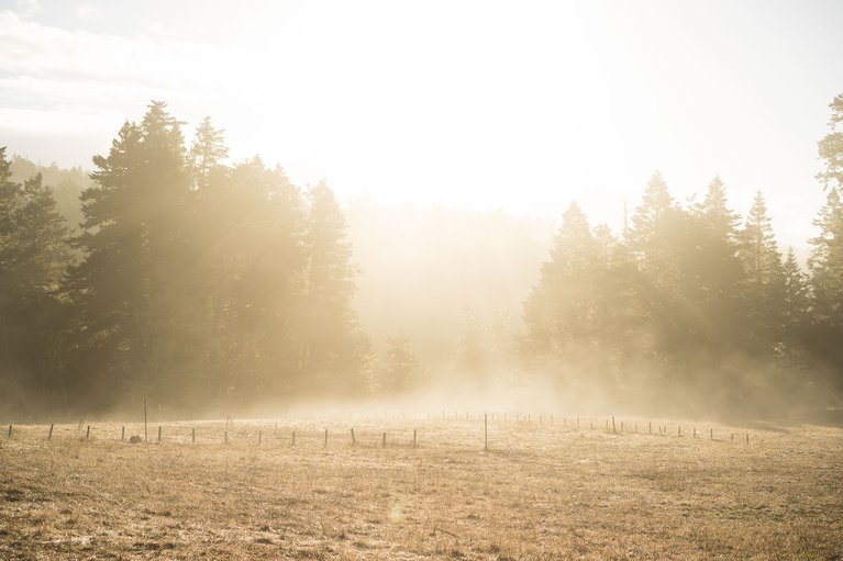
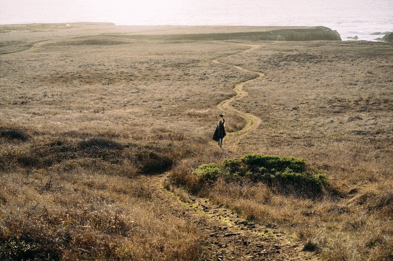
My first recommendation for your morning coffee is to hit up Big River State Marine Estuary for a walk along the area where Mendocino Bay meets up with the Big River. You’re sure to catch some morning fog lacing over the hills. You can also get your first taste of the headlands by walking out towards the sea.
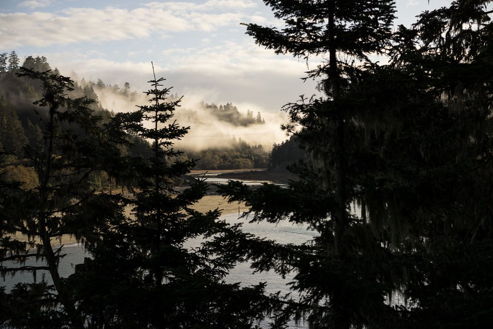
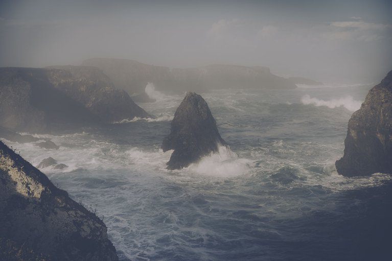
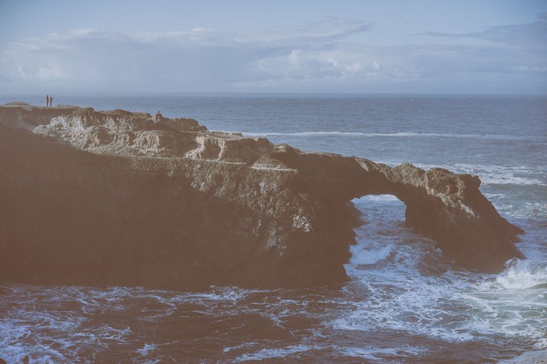
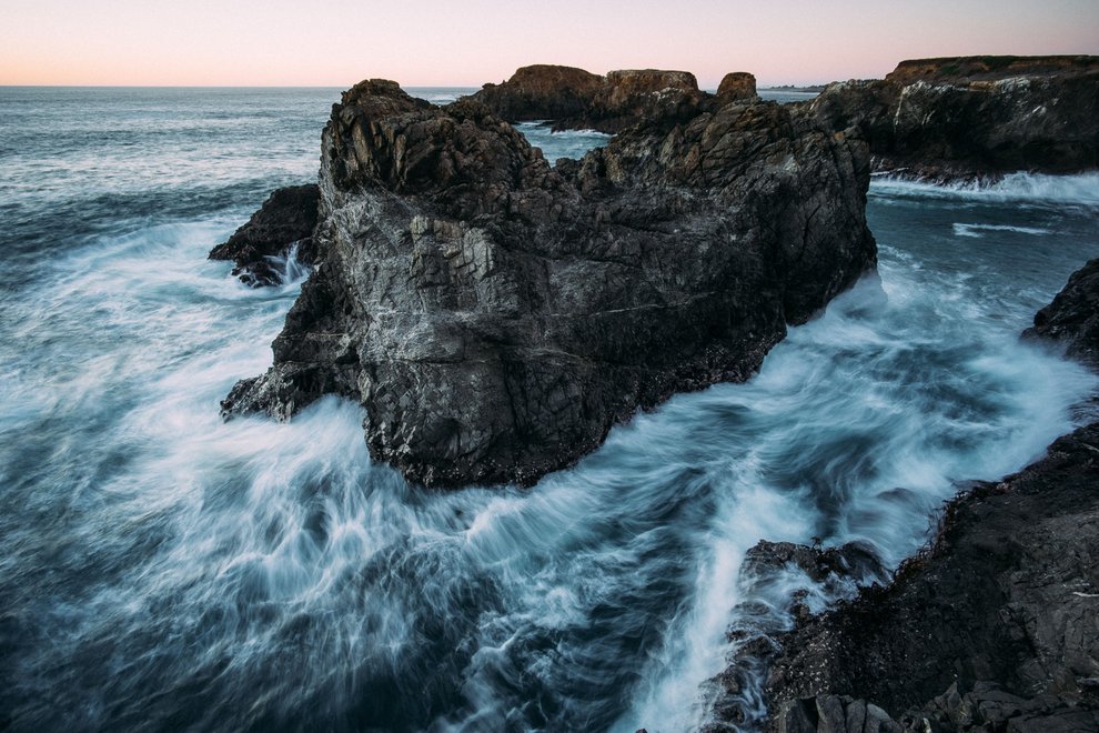
For your second morning coffee walk get out to the Mendocino Headlands State Park, which is actually the coastal side of the town of Mendocino, where you’ll enjoy watching the powerful ocean smacking into the land. You simply walk from the road about 20 meters and you’re in it to win it, standing cliffside to one of nature’s best shows on earth. There are multiple options in either direction to take it all in and snap a few photos—or lots of photos—and on most mornings you should have a healthy dose of fog to add an element of radness.
After an epic morning, get ready for your redwood forest tour, as you have two incredible options within a few miles of the town of Mendocino. The first I’ll walk you through is Van Damme State Park on Fern Canyon Trail, an easy to moderate hike, taking you through a fern canyon, secondary growth redwoods, up to the Pygmy Forest, and back down through this 200 year-old forest.
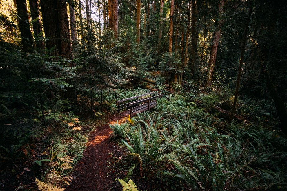
We did the Van Damme hike in four hours, with the total length around nine miles. As with any backcountry adventure, you should always be prepared with layers, water and food, and let somebody know where you’re headed.
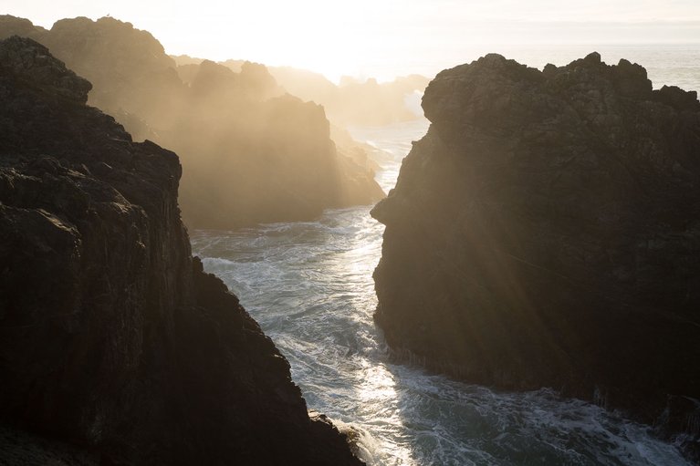
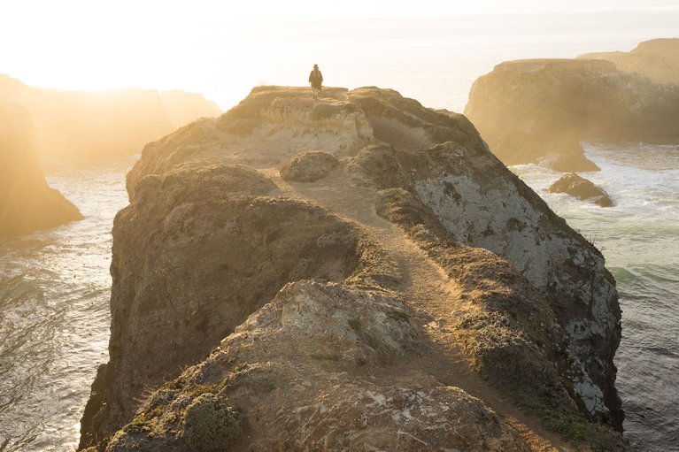
For sunset, Chapman Headlands is a great spot to kick back and watch the sun dip below the horizon line, located 1.5 miles south of Mendocino. Park the car on the west side of Highway 1, directly across from Gordon Lane, walk in about 15-20 minutes to the coast, and pick a spot to relax in. The hike-in is perfect, with a slight downgrade to the water.
This mini-guide to exploring the Pacific Coast Highway is in no way a complete map to the thousands of possibilities along the route. This is only meant to serve as a starting point for you to get out there and create your own memories.